


Wildflower Locations Map
The following locations are plotted on the Wildflower Locations Map, below.
Interactive Wildflower Locations Map
What's on the map? These are the locations plotted above:
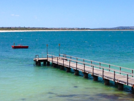
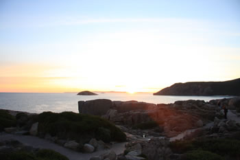
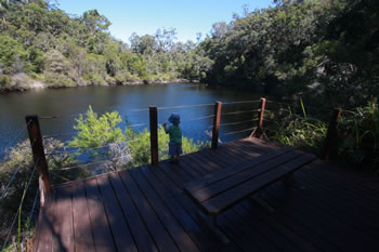 Walpole-Nornalup National Park
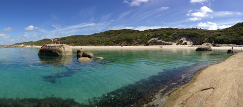
 Expansive covering over twenty thousand hectares of the Walpole Wilderness Area. Visit Walpole-Nornalup National Park
 Walpole-Nornalup National Park Map
 Map of the Walpole-Nornalup National Park Visit Walpole-Nornalup National Park Map
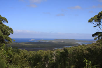
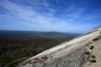 Mount Frankland
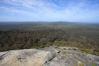
 Starting in the karri trees you wind up and through towards the summit of Mt Frankland way above the tree top canopy. Visit Mount Frankland
 Torndirrup National Park
 Including The Gap, Natural Bridge, The Blowholes, Jimmy Newells Harbour, Stony Hill, Cable Beach & Stony Hill. Visit Torndirrup National Park
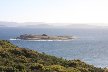
 Two Peoples Bay NP
 Located approximately 25 kilometres north-east of Albany. Rediscovery of the presumed extinct noisy scrub-bird. Visit Two Peoples Bay NP
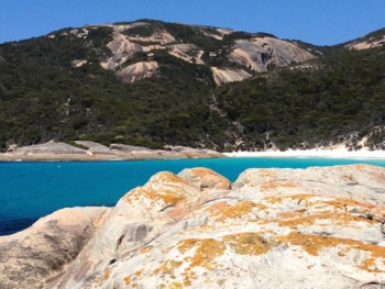
 West Cape Howe National Park
 Containing the southernmost point of Western Australia this national park is astounding. Visit West Cape Howe National Park
 Gull Rock National Park
 25k east of Albany, Gull Rock National Park is a reserve for many endangered animals, trees and birds. Visit Gull Rock National Park
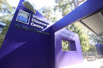 Valley of the Giants
 The Valley of the Giants Wilderness Discovery Centre at the Treetop Walk is the most visited place on the Rainbow Coast. Visit Valley of the Giants
Related Maps:
 If this helped you, FOLLOW US ON FACEBOOK to show your support!
Other amazing locations in the South-West of Western Australia!
More information on the south-west coast in our other Western Australian travellers guides:
Albany Tourist Information:
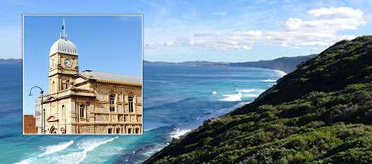
Albany WA
The Albany is the oldest settlement in Western Australia. Filled with history, surrounded by beaches and waterways, and a great place to visit while on holiday on the south coast of WA. Visit Albany today.
Have you visited?
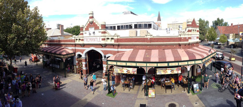
Fremantle WA
Fremantle, the Port City, is located south-west of Perth at the mouth of the Swan River. Fremantle's vibrant nightlife, music scene and cafe' culture make Fremantle a perfect getaway from the bustle of Perth. Beaches, history, shopping, dining out, and more. VISIT FREMANTLE
Have you visited?
Margaret River, WA
The Margaret River Region is an area of magnificent beauty on the western coast of the south west of WA. From the expansive shores of Busselton on Geographe Bay, through Dunsborough & Margaret River to Augusta, the Margaret River Region is fantastic. VISIT MARGARET RIVER
Have you visited?
Denmark WA
Denmark WA is one of the most beautiful places along the south coast as it has forests, beaches, rivers and waves. Everything you need for the perfect south coast holiday. Denmark Wineries are popular too! Info on Denmark Town including shopping, dining & history, VISIT DENMARK WA