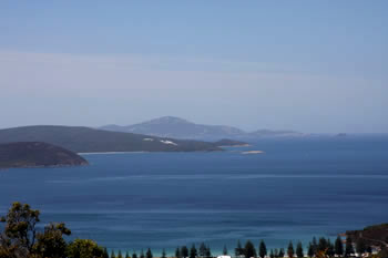


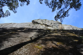
Visitor information for Mount Frankland National Park Map
Mount Frankland National Park Map is a beautiful Tourist Destination and MUST VISIT LOCATION in Western Australia:
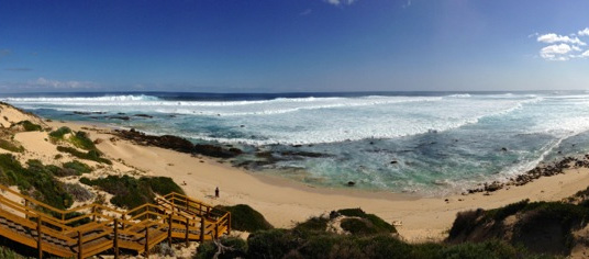
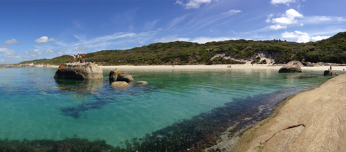
Mount Frankland National Park Map including Rockwood Trail and Fernhook Falls Visit Mount Frankland National Park Map
Frequently Asked Questions about Mount Frankland National Park Map:
Question: Where is Mount Frankland National Park Map located?
Answer: Mount Frankland National Park Map is located on the south coast of Western Australia. Use your GPS and go directly to this Latitude: -34.813240 and Longitude: 116.733170 in Western Australia - on the South Coast of Western Australia.
Question: Where can I find out more about Mount Frankland National Park Map?
Answer: Details, including photographs and more can be found here Mount Frankland National Park Map.
For a Google Map to this location, click here: GOOGLE MAP TO Mount Frankland National Park Map
Other amazing locations in the South-West of Western Australia!
More information on the south-west coast in our other Western Australian travellers guides:
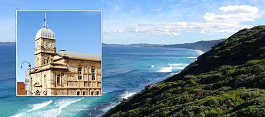
Albany Tourist Information:
Albany WA
The Albany is the oldest settlement in Western Australia. Filled with history, surrounded by beaches and waterways, and a great place to visit while on holiday on the south coast of WA. Visit Albany today.
Have you visited?
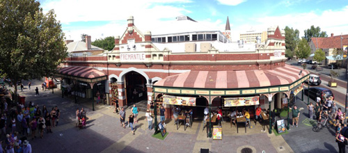
Fremantle WA
Fremantle, the Port City, is located south-west of Perth at the mouth of the Swan River. Fremantle's vibrant nightlife, music scene and cafe' culture make Fremantle a perfect getaway from the bustle of Perth. Beaches, history, shopping, dining out, and more. VISIT FREMANTLE
Have you visited?
Margaret River, WA
The Margaret River Region is an area of magnificent beauty on the western coast of the south west of WA. From the expansive shores of Busselton on Geographe Bay, through Dunsborough & Margaret River to Augusta, the Margaret River Region is fantastic. VISIT MARGARET RIVER
Have you visited?
Denmark WA
Denmark WA is one of the most beautiful places along the south coast as it has forests, beaches, rivers and waves. Everything you need for the perfect south coast holiday. Denmark Wineries are popular too! Info on Denmark Town including shopping, dining & history, VISIT DENMARK WA