


Denmark Western Australia Maps
We have several maps of the Denmark WA region. For your convenience we've listed each of the Maps on a map too! The following locations are plotted on the Denmark Western Australia Maps, below.
Interactive Denmark Western Australia Maps
What's on the map? These are the locations plotted above:
 Denmark Region Map
 Map of the Denmark Western Australia Region including Denmark Town and National Parks. Visit Denmark Region Map
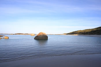
 Denmark Beaches Map
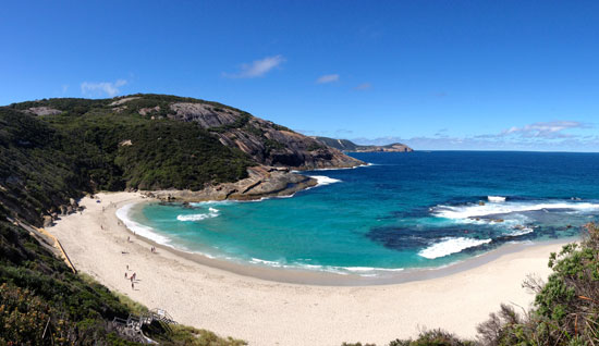
 Including some of the most beautiful beaches on the south coast. Visit Denmark Beaches Map
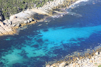
 Denmark National Parks Map
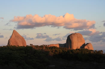
 Map of National Parks and Reserves near Denmark Western Australia. Visit Denmark National Parks Map
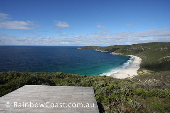 West Cape Howe National Park Map
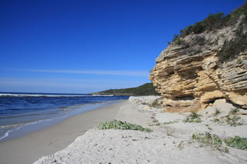
 West Cape Howe Map of Attractions and Places to Visit Visit West Cape Howe National Park Map
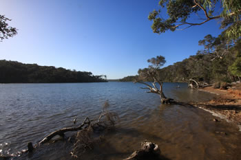
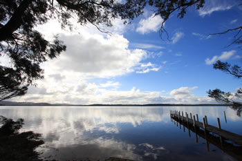 Denmark and the Wilson Inlet Map
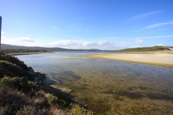
 Map of Denmark Town and The Wilson Inlet and Surrounds. Visit Denmark and the Wilson Inlet Map
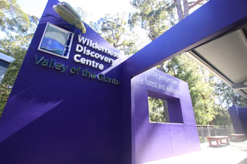 Valley of the Giants
 The Valley of the Giants Wilderness Discovery Centre at the Treetop Walk is the most visited place on the Rainbow Coast. Visit Valley of the Giants
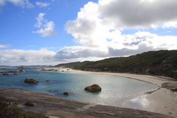 William Bay National Park Map
 Map of William Bay National Park including Greens Pool & Elephant Cove Visit William Bay National Park Map
Related Maps:
 If this helped you, FOLLOW US ON FACEBOOK to show your support!
Other amazing locations in the South-West of Western Australia!
More information on the south-west coast in our other Western Australian travellers guides:
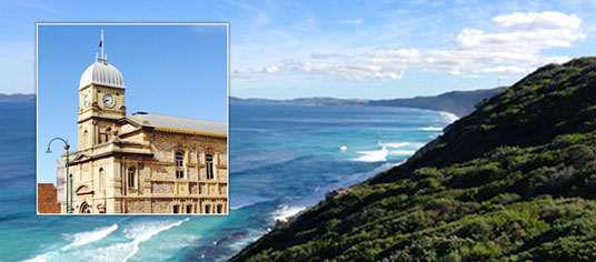
Albany Tourist Information:
Albany WA
The Albany is the oldest settlement in Western Australia. Filled with history, surrounded by beaches and waterways, and a great place to visit while on holiday on the south coast of WA. Visit Albany today.
Have you visited?
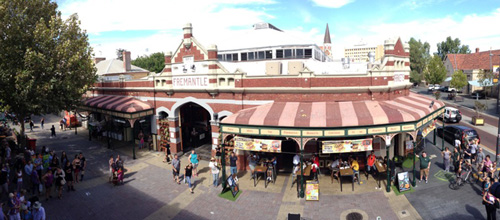
Fremantle WA
Fremantle, the Port City, is located south-west of Perth at the mouth of the Swan River. Fremantle's vibrant nightlife, music scene and cafe' culture make Fremantle a perfect getaway from the bustle of Perth. Beaches, history, shopping, dining out, and more. VISIT FREMANTLE
Have you visited?
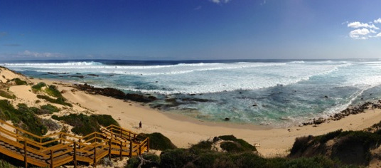
Margaret River, WA
The Margaret River Region is an area of magnificent beauty on the western coast of the south west of WA. From the expansive shores of Busselton on Geographe Bay, through Dunsborough & Margaret River to Augusta, the Margaret River Region is fantastic. VISIT MARGARET RIVER
Have you visited?
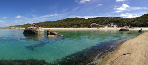
Denmark WA
Denmark WA is one of the most beautiful places along the south coast as it has forests, beaches, rivers and waves. Everything you need for the perfect south coast holiday. Denmark Wineries are popular too! Info on Denmark Town including shopping, dining & history, VISIT DENMARK WA